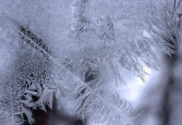
More snow set to cover parts of Lancashire as Met Office issues new weather warning
and live on Freeview channel 276
The warning means hill snow may lead to "some travel disruption", with roads and railways "likely to be affected".
It is in place from 11am on Tuesday (January 26) to 11.59pm on Tuesday.
Advertisement
Hide AdAdvertisement
Hide AdIt covers Clitheroe, Ribble Valley, Lancaster, Kirkby Lonsdale, Kendal, Windermere, Keswick, Penrith and the eastern edge of Carlisle.
A spokesman for the Met Office said: "Over northern England and southern Scotland, snow will initially fall down to approximately 200-300m before gradually becoming confined to areas above 400m during the course of the afternoon.
"Here, accumulations will be mainly above 300 m where 2-5cm snow is likely for some and above 400 m 5-8cm is possible in a few places.
Advertisement
Hide AdAdvertisement
Hide Ad"Further north, hill snow will be more prolonged and 2-5cm is likely above 200m and in some places 5-10cm is possible above 400m, most likely over the southern Grampian Mountains."

Here's what to expect, according to the Met Office:
- Some roads and railways likely to be affected with longer journey times by road, bus and train services
Here is the full Met Office weather forecast for the North West:
This Evening and Tonight (January 25):
A largely dry and cloudy night but wintry showers and hill snow continuing for northern areas. Risk of patchy frost or fog forming under any clearer spells. Remaining cold with winds strengthening. Minimum temperature -1 °C.
Tuesday (January 26):
Advertisement
Hide AdAdvertisement
Hide AdA band of rain, heavy and wintry at times, spreads eastwards across the region through the day, allowing ice to form in places. Further wintry showers likely overnight. Feeling cold. Maximum temperature 5 °C.
Outlook for Wednesday to Friday (January 27 - January 29):
Generally dry and windy for Wednesday with some scattered showers. Further rain, heavy at times, arrives overnight and continues through Thursday. Drier but showery for Friday. Rather cold throughout.
It is thanks to our loyal readers that we can continue to provide the trusted news, analysis and insight that matters to you. For unlimited access to our unrivalled local reporting, you can take out a subscription here and help support the work of our dedicated team of reporters.
Comment Guidelines
National World encourages reader discussion on our stories. User feedback, insights and back-and-forth exchanges add a rich layer of context to reporting. Please review our Community Guidelines before commenting.